
 United Kingdom
 France
 Germany
 Netherlands
 Sweden
 USA
USA
 Italy
Italy
 Spain
Spain
More From Contributor


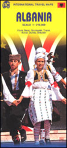
Albania ITMB
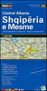
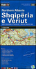
Albania at 1:210, 000 on an indexed, double-sided map from ITMB with street plans of Tirana, Gjirokaster, Berat, Vlore, Durres, Shkoder and Korce. The map divides the country north/south, with a good overlap between the sides, and presents its topography by altitude colouring, with names of mountain ranges, peaks, etc. National parks and other protected areas are highlighted.Road network includes selected tracks and seasonal roads, shows locations of border crossings and gives distances on main routes. Railway lines are included and the map also shows internal administrative boundaries and names of the provinces. Symbols mark various places of interest. Each side has a separate index. Latitude and longitude lines are drawn at 30’. Seven insets provide street plans of the
country’s main towns, indicating principal traffic arteries, naming main and selected smaller streets, and highlighting selected tourist accommodation and various places of interest.
country’s main towns, indicating principal traffic arteries, naming main and selected smaller streets, and highlighting selected tourist accommodation and various places of interest.

Product Description
Reviews/Comments
Add New
Vouchers
No voucher codes found.
Do you know a voucher code for this product or supplier? Add it to Insights for others to use.
Do you know a voucher code for this product or supplier? Add it to Insights for others to use.
 Denmark