
 United Kingdom
 France
 Germany
 Netherlands
 Sweden
 USA
USA
 Italy
Italy
 Spain
Spain
More From Contributor


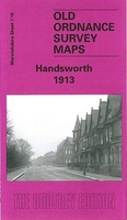
Handsworth 1913
Handsworth in 1913 in a fascinating series of reproductions of old Ordnance Survey plans in the Alan Godfrey Editions, ideal for anyone interested in the history of their neighbourhood or family. The map covers much of Handsworth, on the north side of Birmingham. Coverage stretches from Regent Road and Alexandra Road eastward to Crompton Road, and from Grasmere Road northward to Oxhill Road. Features include LNWR railway with Soho Road and Handsworth Wood stations, St Mary`s church, Church Hill, Heathfield Hall, St Silas church, Grammar School, Technical School, Library, Victoria Park, St Peter`s church, St Andrew`s church, St Michael`s church (at foot of map), tramways along Soho Road, Villa Road, Lozells Road and Grove Lane, Endwood Court, Field House, etc. On the
reverse is a selection of street directory entries, including Grove Lane, Rookery Road, Soho Road and Villa Road.About the Alan Godfrey Editions of the 25” OS Series:Selected towns in Great Britain and Ireland are covered by maps showing the extent of urban development in the last decades of the 19th and early 20th century. The plans have been taken from the Ordnance Survey mapping and reprinted at about 15 inches to one mile (1:4, 340). On the reverse most maps have historical notes and many also include extracts from contemporary directories. Most maps cover about one mile (1.6kms) north/south, one and a half miles (2.4kms) across; adjoining sheets can be combined to provide wider coverage.FOR MORE INFORMATION AND A COMPLETE LIST OF ALL AVAILABLE TITLES PLEASE CLICK ON THE SERIES
LINK.

Product Description
Reviews/Comments
Add New
Intelligent Comparison
Archived Product

Wandsworth 1894 Stanfords
£3.50
Archived Product

Handsworth Wood 1902 Stanfords
£3.50
Archived Product
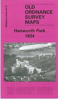
Hanworth Park 1934 Stanfords
£3.50
Archived Product
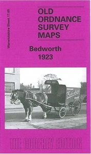
Bedworth 1923 Stanfords
£3.50
Archived Product
Tidworth 1936 Stanfords
£2.95
Archived Product
Gosforth 1913 Stanfords
£2.95
Archived Product

Gosforth 1913 Stanfords
£3.50
Archived Product
Tidworth 1936 Stanfords
£3.50
Vouchers
No voucher codes found.
Do you know a voucher code for this product or supplier? Add it to Insights for others to use.
Do you know a voucher code for this product or supplier? Add it to Insights for others to use.
 Denmark