
 United Kingdom
 France
 Germany
 Netherlands
 Sweden
 USA
USA
 Italy
Italy
 Spain
Spain
More From Contributor

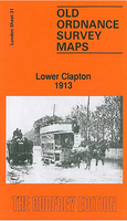
Lower Clapton 1913
Lower Clapton in 1913 in a fascinating series of reproductions of old Ordnance Survey plans in the Alan Godfrey Editions, ideal for anyone interested in the history of their neighbourhood or family. Three versions each cover the same area, stretching from Clarence Road and Lower Clapton Road eastward to Hackney Marsh and Leyton Marshes, with the northern part of Templemills Siding; and from Clifden Road northward to Mountpleasant Lane. The Hackney Cut Navigation runs through the map, with the River Lea winding nearby. Each map includes extracts from early directories, those for the 1913 map covering Chatsworth Road, Lesbia Road, Lower Clapton Road, Millfields Road, Middlesex Wharf and Mandeville Street. Features include Lea Bridge, Lower Clapton, Clapton Park, Lea Bridge
Pumping Station, London Orphan Asylum (later Congress Hall), Lea Dock.About the Alan Godfrey Editions of the 25” OS Series:Selected towns in Great Britain and Ireland are covered by maps showing the extent of urban development in the last decades of the 19th and early 20th century. The plans have been taken from the Ordnance Survey mapping and reprinted at about 15 inches to one mile (1:4, 340). On the reverse most maps have historical notes and many also include extracts from contemporary directories. Most maps cover about one mile (1.6kms) north/south, one and a half miles (2.4kms) across; adjoining sheets can be combined to provide wider coverage.FOR MORE INFORMATION AND A COMPLETE LIST OF ALL AVAILABLE TITLES PLEASE CLICK ON THE SERIES LINK.
Pumping Station, London Orphan Asylum (later Congress Hall), Lea Dock.About the Alan Godfrey Editions of the 25” OS Series:Selected towns in Great Britain and Ireland are covered by maps showing the extent of urban development in the last decades of the 19th and early 20th century. The plans have been taken from the Ordnance Survey mapping and reprinted at about 15 inches to one mile (1:4, 340). On the reverse most maps have historical notes and many also include extracts from contemporary directories. Most maps cover about one mile (1.6kms) north/south, one and a half miles (2.4kms) across; adjoining sheets can be combined to provide wider coverage.FOR MORE INFORMATION AND A COMPLETE LIST OF ALL AVAILABLE TITLES PLEASE CLICK ON THE SERIES LINK.

Product Description
Reviews/Comments
Add New
Intelligent Comparison
Archived Product

Lower Clapton 1894 Stanfords
£3.50
Archived Product
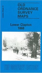
Lower Clapton 1868 Stanfords
£3.50
Vouchers
No voucher codes found.
Do you know a voucher code for this product or supplier? Add it to Insights for others to use.
Do you know a voucher code for this product or supplier? Add it to Insights for others to use.
 Denmark