
 United Kingdom
 France
 Germany
 Netherlands
 Sweden
 USA
USA
 Italy
Italy
 Spain
Spain
More From Contributor

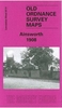

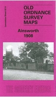
Ainsworth 1908
Ainsworth in 1908 in a fascinating series of reproductions of old Ordnance Survey plans in the Alan Godfrey Editions, ideal for anyone interested in the history of their neighbourhood or family. Selected towns in Great Britain and Ireland are covered by maps showing the extent of urban development in the last decades of the 19th and early 20th century.In this title: the map covers the village of Ainsworth, midway between Bolton and Bury. Features include Christ Church, Hey Club Row, chapels, Moorside Mill, quarry, Ainsworth Hall, Anthony Fields, Ainsworth Hospital, and various outlying houses. Coverage extends eastward to Cockey Moor and westward to Breightmet Fold (in the south-westrn corner of map) on the outskirts of Bolton; features there include Breightmet Bleach Works, Red
Bridge Mill. Harwood Lodge is in north-west corner of map. On the reverse is a directory of Ainsworth, plus portraits and information on John Miles, Mayor of Bolton, and John Battersby, Mayor of Bury, and their wives. About the Alan Godfrey Editions of the 25
Bridge Mill. Harwood Lodge is in north-west corner of map. On the reverse is a directory of Ainsworth, plus portraits and information on John Miles, Mayor of Bolton, and John Battersby, Mayor of Bury, and their wives. About the Alan Godfrey Editions of the 25
Product Description
Reviews/Comments
Add New
Intelligent Comparison
Archived Product
Ainsworth 1908 Stanfords
£3.50
Archived Product
Farnworth 1908 Stanfords
£3.50
Archived Product
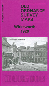
Wirksworth 1920 Stanfords
£3.50
Archived Product
Winsford 1908 Stanfords
£2.95
Archived Product
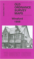
Winsford 1908 Stanfords
£3.50
Archived Product
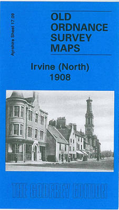
Irvine North 1908 Stanfords
£3.50
Vouchers
No voucher codes found.
Do you know a voucher code for this product or supplier? Add it to Insights for others to use.
Do you know a voucher code for this product or supplier? Add it to Insights for others to use.
 Denmark