
 United Kingdom
 France
 Germany
 Netherlands
 Sweden
 USA
USA
 Italy
Italy
 Spain
Spain
More From Contributor

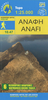


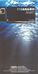
Anafi Terrain Editions 318
Greek island of Anafi on a light, waterproof and tear-resistant, contoured and GPS compatible map at 1:15, 000 from Terrain Editions, with on the reverse descriptions of seven specially selected hiking trails, notes on two climbing sites, plus general information about the island. All place names are shown in both Greek and Latin alphabet. Map legend and all the text include English.Maps of the Greek islands from Terrain Editions have topography well presented by contours at 20m intervals (unless indicated differently in the map`s individual description), enhanced by spot heights, subtle relief shading and additional altitude colouring. Road network is very clearly graded according to width and the type of surface, distinguishing between good and rough dirt roads. Distances are
marked on most small local roads, as well as locations of petrol stations and/or tyre repair workshops; scenic routes are highlighted. Each map also shows which ports are served by ferry services. Hiking paths are graded as main or narrow trails. National parks and other protected areas are marked and a wide range of symbols indicate various places of interest and recreational facilities, with main sights clearly highlighted. Most titles distinguish between sandy and pebble beaches; some also indicate beaches with natural shade and/or the type of sea bed. The maps have a UTM grid, plus latitude and longitude margin ticks. The reverse side of each title is covered by general information about the island, illustrated with colour photos. Many titles also include brief descriptions of
recommended hiking trails and/or a street plan of the island’s main town, with colouring clearly showing various tourist facilities.To see the other titles in this series please click on the series link.

Product Description
Reviews/Comments
Add New
Intelligent Comparison
Archived Product
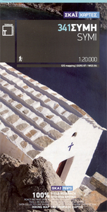
Symi Terrain Editions 341 Stanfords
£9.99
Archived Product
Naxos Terrain Editions 311 Stanfords
£9.99
Archived Product
Tinos Terrain Editions 308 Stanfords
£9.99
Archived Product
Samos Terrain Editions 331 Stanfords
£9.99
Archived Product
Ios Terrain Editions 315 Stanfords
£9.99
Archived Product

Lefkada Terrain Editions 351 Stanfords
£9.99
Archived Product
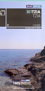
Kea / Tzia Terrain Editions 301 Stanfords
£9.99
Archived Product
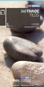
Tilos Terrain Editions 340 Stanfords
£9.99
Vouchers
No voucher codes found.
Do you know a voucher code for this product or supplier? Add it to Insights for others to use.
Do you know a voucher code for this product or supplier? Add it to Insights for others to use.
 Denmark