
 United Kingdom
 France
 Germany
 Netherlands
 Sweden
 USA
USA
 Italy
Italy
 Spain
Spain
More From Contributor


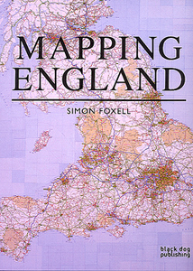
Mapping England
Mapping England shows, through a series of compelling maps - both historic and contemporary - how England has scrutinized itself, been seen by others and how it has recorded its ever-changing circumstances.England has been continuously mapped from medieval times to the present, both functionally and creatively, and it is these maps that have helped to define ideas of what England is and could be. They have developed and maintained its identity amongst other nations and explored its essential character and limits.The maps included show a country at times confident but also unsure of itself. Often drawn for purely practical purposes they frequently and unconsciously reveal the true state of the nation, and the hopes and fears of its inhabitants. England has been the crucible for many of
the most significant developments in cartography and Mapping England tells the story of how its position in the world has evolved and, in so doing, entails new ways of seeing and expressing such findings in graphic form.
the most significant developments in cartography and Mapping England tells the story of how its position in the world has evolved and, in so doing, entails new ways of seeing and expressing such findings in graphic form.

Product Description
Reviews/Comments
Add New
Intelligent Comparison
Archived Product
Cool Camping England Stanfords
£14.95
Archived Product
Cool Camping England Stanfords
£16.95
Archived Product
Finding England Stanfords
£12.99
Archived Product

Touring England Stanfords
£14.99
Archived Product

In England Stanfords
£35.00
Archived Product

Mapping India Stanfords
£90.00
Vouchers
No voucher codes found.
Do you know a voucher code for this product or supplier? Add it to Insights for others to use.
Do you know a voucher code for this product or supplier? Add it to Insights for others to use.
 Denmark