
 United Kingdom
 France
 Germany
 Netherlands
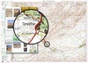
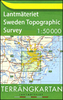
 Sweden
 USA
USA
 Italy
Italy
 Spain
Spain
More From Contributor


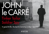
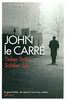

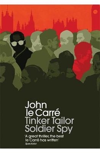
Tinker Tailor Soldier Spy
The enduring novel by one of our greatest storytellers.George Smiley, who is a troubled man of infinite compassion, is also a single-mindedly ruthless adversary as a spy.The scene which he enters is a Cold War landscape of moles and lamplighters, scalp-hunters and pavement artists, where men are turned, burned or bought for stock. Smiley`s mission is to catch a Moscow Centre mole burrowed thirty years deep into the Circus itself.

Product Description
Reviews/Comments
Add New
Vouchers
No voucher codes found.
Do you know a voucher code for this product or supplier? Add it to Insights for others to use.
Do you know a voucher code for this product or supplier? Add it to Insights for others to use.
 Denmark