
 United Kingdom
 France
 Germany
 Netherlands
 Sweden
 USA
USA
 Italy
Italy
 Spain
Spain
More From Contributor


Cuba NGS Classic Style Wall Map ENCAPSULATED
Cuba NGS Classic Style Wall Map, size 91.5 x 61cm (36 x 24 approx), encapsulated version, published by the National Geographic Society in their traditional classic style: a light coloured base with the country and provincial borders in stronger colour. Topography of the island is presented by light relief shading with names of mountain ranges. Heights are given in metres. Additional graphic show swamps; in the surrounding waters of the Caribbean coral reefs and sandbanks are also marked. The map shows the division of Cuba into provinces and presents the country

Product Description
Reviews/Comments
Add New
Intelligent Comparison
Archived Product
Brazil NGS Classic Style Wall Map ENCAPSULATED Stanfords
£21.95
Archived Product
Brazil NGS Classic Style Wall Map ENCAPSULATED Stanfords
£21.95
Archived Product
China NGS Classic Wall Map ENCAPSULATED Stanfords
£19.99
Archived Product
Cuba NGS Classic Style Wall Map PAPER Stanfords
£14.95
Archived Product
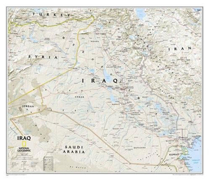
Iraq NGS Classic Wall Map ENCAPSULATED Stanfords
£17.99
Archived Product

Mexico NGS Classic Wall Map ENCAPSULATED Stanfords
£17.99
Archived Product
China NGS Classic Style Wall Map PAPER Stanfords
£13.95
Archived Product
China NGS Executive Style Wall Map ENCAPSULATED Stanfords
£19.95
Vouchers
No voucher codes found.
Do you know a voucher code for this product or supplier? Add it to Insights for others to use.
Do you know a voucher code for this product or supplier? Add it to Insights for others to use.
 Denmark