
 United Kingdom
 France
 Germany
 Netherlands
 Sweden
 USA
USA
 Italy
Italy
 Spain
Spain
More From Contributor


India Geographical Wall Map
This 86x124cm wallmap is a physical map of India which includes the whole of Nepal, Bangladesh and large sections of Myanmar, Pakistan and Afghanistan. Relief is shown through elevation tinting and spot heights, and some physical features ie. swamps, reefs and glaciers are indicated. Six different types of roads are clearly marked and intermediate road distances are marked on the map.Lines of latitude and longitude are drawn at 2° intervals. National parks, temples of different religions, museums and buildings of historical interest are all indicated, also main railways, airports, ports & administrative boundaries.Inset maps show the Maldives, Andaman & Nicobar Islands and an administrative map of India. On the reverse is an index of placenames. Legend is in English, German,
French, Russian, Hindi and Chinese.
French, Russian, Hindi and Chinese.

Product Description
Reviews/Comments
Add New
Intelligent Comparison
Archived Product

Algeria Geographical Wall Map Stanfords
£13.50
Archived Product
China Gizi Map Geographical Wall Map Stanfords
£13.50
Archived Product
Kazakhstan Geographical Wall Map Stanfords
£13.50
Archived Product
Libya Geographical Map Stanfords
£9.99
Archived Product
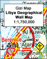
Libya Geographical Edition Wall Map Stanfords
£13.50
Archived Product
Mongolia Geographical Edition Wall Map Stanfords
£13.50
Archived Product
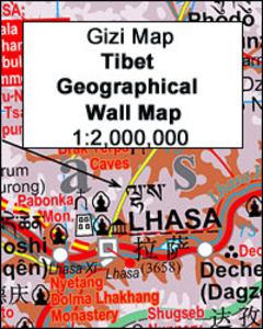
Tibet Geographical Edition Wall Map Stanfords
£13.50
Archived Product
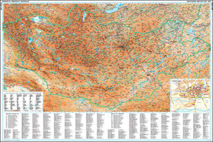
Central Asia Geographical Edition Wall Map Stanfords
£13.50
Vouchers
No voucher codes found.
Do you know a voucher code for this product or supplier? Add it to Insights for others to use.
Do you know a voucher code for this product or supplier? Add it to Insights for others to use.
 Denmark