
 United Kingdom
 France
 Germany
 Netherlands
 Sweden
 USA
USA
 Italy
Italy
 Spain
Spain
More From Contributor


Toggenburg Swisstopo 33
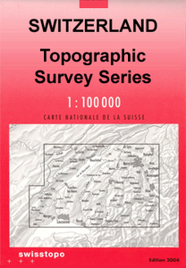
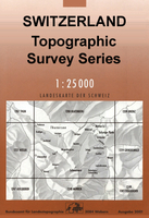
Swiss topographic survey at 1:100, 000 from Swisstopo, highly regarded for it superb use of graphic relief and hill shading, presenting an almost 3-D picture of the country`s mountainous terrain. Coverage is available either as small size standard sheets – Nos 26 to 48, each covering 70 x 48 km / 43 x 30 miles approx, or as larger size maps - Nos. 101 onwards, each covering 100 x 70 km / 62 x 43 miles approx.Both formats have identical cartography, with contours at 50-metres intervals. Standard sheets include margin ticks showing latitude and longitude in steps of 10`, and both formats have an overprint showing the Swiss national grid lines at 10km intervals; latest editions of the larger sheets now have the Swiss grid lines at 1km intervals.Standard sheets have a map legend in
the language of the area covered by the map. The larger sheets have no legend but a separate “Conventional Signs” leaflet in English can be provided with the map.To see the list of titles in this series please click on the series link.
the language of the area covered by the map. The larger sheets have no legend but a separate “Conventional Signs” leaflet in English can be provided with the map.To see the list of titles in this series please click on the series link.

Product Description
Reviews/Comments
Add New
Intelligent Comparison
Archived Product
Laufenburg Swisstopo 1049 Stanfords
£12.99
Vouchers
No voucher codes found.
Do you know a voucher code for this product or supplier? Add it to Insights for others to use.
Do you know a voucher code for this product or supplier? Add it to Insights for others to use.
 Denmark