
 United Kingdom
 France
 Germany
 Netherlands
 Sweden
 USA
USA
 Italy
Italy
 Spain
Spain
More From Contributor


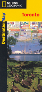
Toronto
Attractive hand-drawn style mapping showing city centre facilities. Hotels, restaurants, shops, museums and parks are all separately colour coded. Blow-ups for streets and areas of especial interest, these double-sided maps also include information on places of interest out of town.
Product Description
Reviews/Comments
Add New
Intelligent Comparison
Archived Product
Toronto Stanfords
£8.95
Archived Product
Toronto Stanfords
£8.50
Archived Product
Toronto Stanfords
£4.99
Archived Product
Toronto Stanfords
£10.39
Archived Product
Toronto Stanfords
£36.95
Archived Product
Toronto Stanfords
£6.99
Archived Product
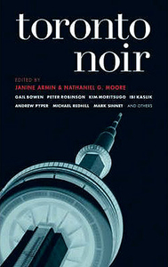
Toronto Noir Stanfords
£12.99
Archived Product

Corongo Stanfords
£29.95
Vouchers
No voucher codes found.
Do you know a voucher code for this product or supplier? Add it to Insights for others to use.
Do you know a voucher code for this product or supplier? Add it to Insights for others to use.
 Denmark