
 United Kingdom
 France
 Germany
 Netherlands
 Sweden
 USA
USA
 Italy
Italy
 Spain
Spain
More From Contributor
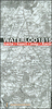

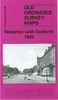
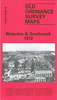
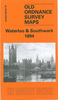


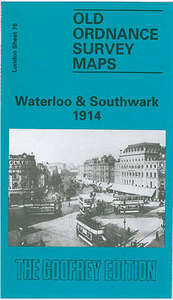
Waterloo And Southwark 1914
Waterloo and Southwark in 1914 in a fascinating series of reproductions of old Ordnance Survey plans in the Alan Godfrey Editions, ideal for anyone interested in the history of their neighbourhood or family. Three versions cover this area which includes much of Lambeth and Southwark, and the area now known as the South Bank. Coverage stretches from Waterloo Bridge eastward to Borough High Street, and from Waterloo Bridge southward to Lambeth Palace and Elephant & Castle. A small stretch of Westminster is also here, including the Houses of Parliament and New Scotland Yard. Other features include Lambeth Bridge, Hungerford Bridge; Charing Cross, Waterloo, Necropolis and Elephant & Castle stations, with many junctions and sidings; St Thomas`s Hospital, Bethlem Hospital, Southwark RC
Cathedral, Metropolitan Tabernacle, St George`s Circus, Anchor Brewery, and countless factories, wharves, streets, prisons etc.About the Alan Godfrey Editions of the 25” OS Series:Selected towns in Great Britain and Ireland are covered by maps showing the extent of urban development in the last decades of the 19th and early 20th century. The plans have been taken from the Ordnance Survey mapping and reprinted at about 15 inches to one mile (1:4, 340). On the reverse most maps have historical notes and many also include extracts from contemporary directories. Most maps cover about one mile (1.6kms) north/south, one and a half miles (2.4kms) across; adjoining sheets can be combined to provide wider coverage.FOR MORE INFORMATION AND A COMPLETE LIST OF ALL AVAILABLE TITLES PLEASE
CLICK ON THE SERIES LINK.

Product Description
Reviews/Comments
Add New
Intelligent Comparison
Archived Product

Waterloo And Southwark 1894 Stanfords
£3.50
Archived Product
Waterloo And Southwark 1872 Stanfords
£3.50
Archived Product
Waterloo And Seaforth 1925 Stanfords
£2.95
Archived Product

Waterloo And Seaforth 1925 Stanfords
£3.50
Vouchers
No voucher codes found.
Do you know a voucher code for this product or supplier? Add it to Insights for others to use.
Do you know a voucher code for this product or supplier? Add it to Insights for others to use.
 Denmark